
Mapping Services
Mapping Services
Our Mapping Division, also known as Prairie Mapping Industries, specializes in creating detailed, accurate, and user-friendly maps for a variety of Projects. Using multiple mapping formats including topographic maps, aerial imagery, and satellite imagery, we deliver reliable mapping solutions tailored to your needs.
We also offer professional printing solutions, including map printing, division books, grader books, large-scale map printing, and lamination, providing durable, field-ready materials to complement our mapping services.
Mapping Services for Every Project
Our mapping expertise is ideal for municipalities, cemeteries, urban developments, campgrounds, recreational areas, and tourism initiatives. We provide comprehensive mapping solutions for:
Custom maps for urban and rural municipalities, infrastructure, and private businesses
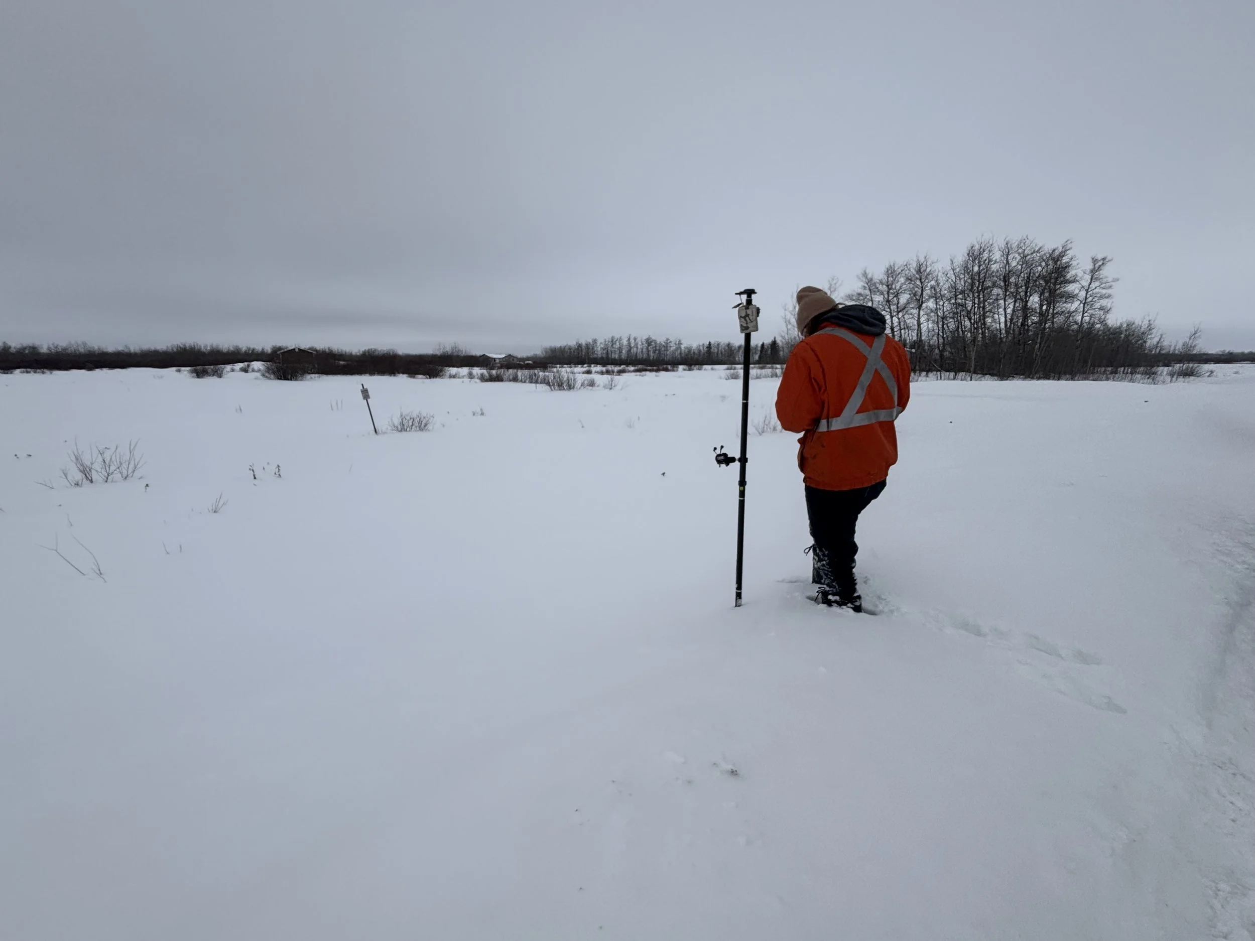
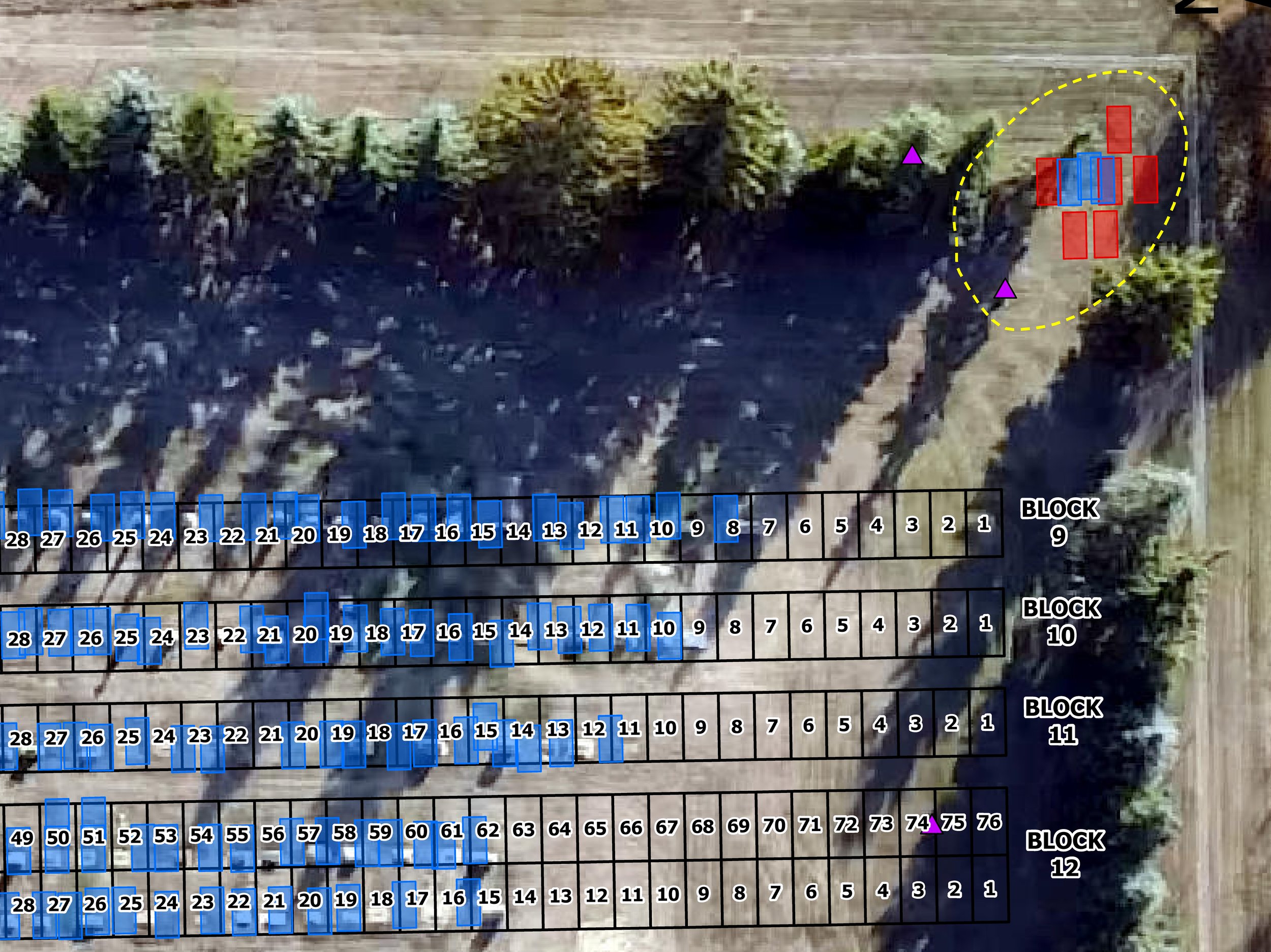
Cemetery mapping for marked and unmarked graves
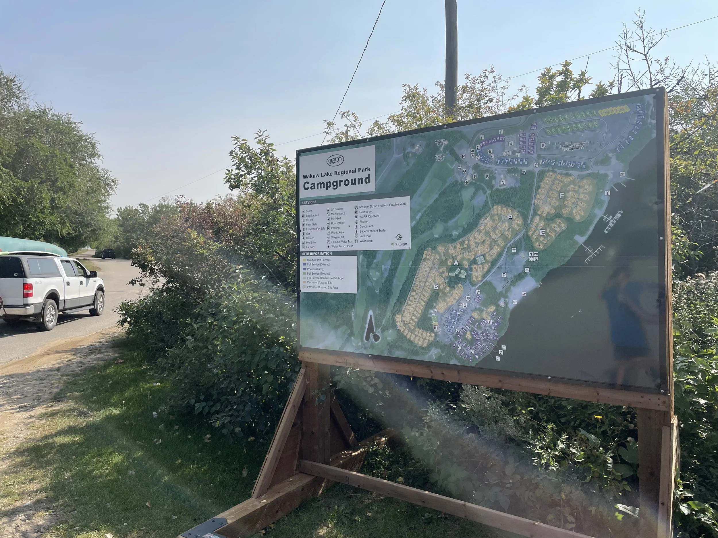
Campground and recreational area mapping
Tourism initiatives
Printing and laminated map solutions for practical, high-quality output
-
Detailed urban and RM maps throughout Saskatchewan and Manitoba
Infrastructure mapping including roads, trails, culverts, hydrants, and street signs
Printing solutions: RM map printing, division books, grader books, large-scale map printing, and lamination for durable, field-ready maps
-
Custom mapping solutions tailored to your business needs
Infrastructure mapping, site layout, and operational planning
Ability to stitch multiple maps together for large properties or multi-site projects
-
Campground maps including trails, roads, and key facilities
Golf course mapping
Infrastructure mapping such as water lines, sewer lines, and valves
-
Accurate cemetery maps
Identification of marked and unmarked graves (see our Ground Penetrating Radar services)
Plot mapping for burial management
-
Mapping historical points of interest
Recreational trail mapping
Interpretive signage strategy and content creation
Innovative solutions using ArcGIS StoryMaps, QR codes, mobile apps, video, and audio content
Why choose us
High Quality
accurate, easy-to-read maps, maps
Comprehensive Solutions
for infrastructure, cemeteries, campgrounds, tourism projects, and private businesses
Flexible Solutions
customizable, including multi-map stitching and large-scale printing and laminating
Let’s Work TogetherIf you're interested in working with us, complete the form with a few details about your project. We'll review your message and get back to you as soon as possible.