
Line Locating Services
Our Electromagnetic (E.M.) utility line locating services provide accurate, non-destructive detection of underground utilities before excavation, drilling, trenching, or construction.
Using advanced signal induction technology, we trace buried utility lines safely and efficiently to help prevent costly damages, service disruptions, and safety hazards.
How E.M. Line Locating Works
E.M. locating works by transmitting an electromagnetic signal onto a conductive utility line and tracing its path underground.
We apply signal using several proven methods:
Direct connection to exposed cable or tracer wire
Clamp induction by placing a signal clamp around the cable
Induction (blind sweeps) using a transmitter placed above ground when direct access is not available
Different frequencies are selected based on:
Length of the utility run
Soil conditions
Congestion of underground utilities
Type of utility being traced
Using the correct frequency ensures optimal signal clarity and accurate utility mapping, even in complex or high-density work
areas.
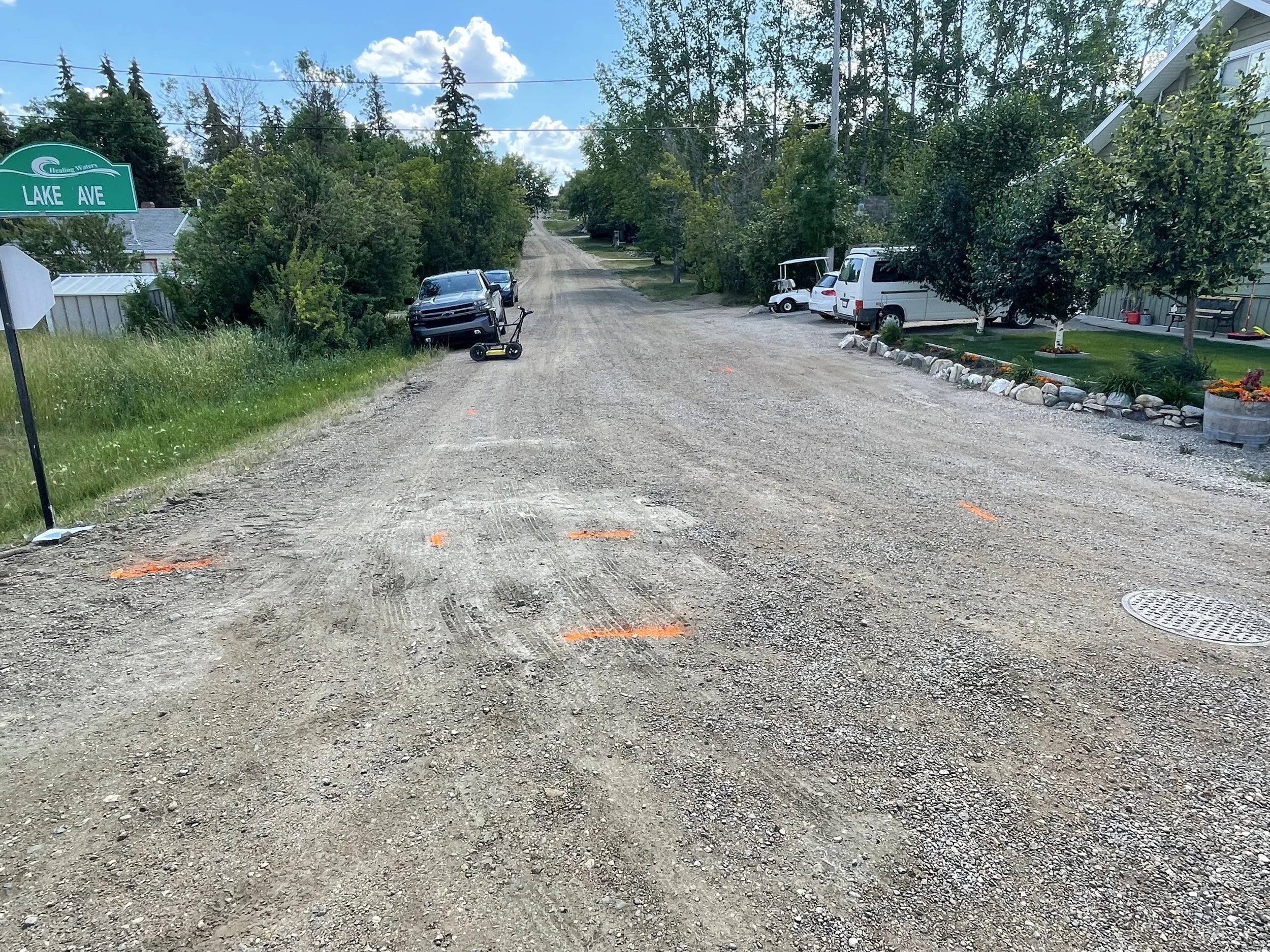
Utility Color Coding Standards
All located utilities are marked on-site using the following color codes:
Red – Power
Orange – Phone & Data
Yellow – Gas
Blue – Water
Green – Sewer & Storm Drain
Pink – Unknown / Miscellaneous
Radio & Passive Power Sweeps
After primary utility locates are completed, we perform radio frequency and passive power sweeps across the work area.
This process helps identify additional underground utilities that may:
Have no visible access points
Lack tracer wires
Be undocumented or abandoned
Not allow direct signal connection
This added layer of detection improves overall site safety and reduces risk.
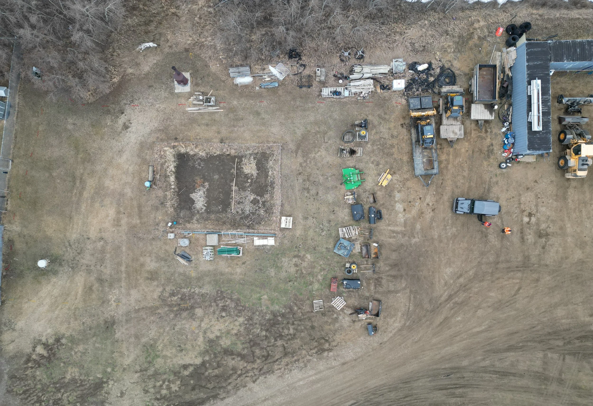
Mapping & Reporting Options
All utility locates include a hand-drawn site map for documentation.
Upon request, we can also provide:
High-accuracy GPS utility mapping
Drone aerial imagery with utility overlays
Digital CAD-compatible files
Detailed post-processing reports
These enhanced mapping options are ideal for contractors, engineers, municipalities, and project managers requiring precise documentation.
Get In Touch
If you're interested in working with us, complete the form with a few details about your project. We'll review your message and get back to you as soon as possible.